Please wait...
About This Project
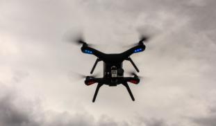
Seasonal snow cover plays an important role in the hydrology of northern Arctic tundra environments. With the release of the stored snow during the spring melt season we see a large hydrograph response. Unfortunately, these streams are often snow-choked resulting in multiple meltwater pond and snow dams within the channel resulting in upstream floods and catastrophic dam failures. This study uses UAV technology to effectively locate and map the size and location of these snow dam features.

Browse Other Projects on Experiment
Related Projects
Study of oceanographic and meteorological variables in MPA through remote sensing.
Climate change and events that modify the global temperature and precipitation dynamics such as “El Niño...
Investigating the roles of microbes in biodegrading or colonizing microplastic surfaces
Recently, we observed different PCB adsorption onto microplastic surfaces in Newtown Creek compared to Navy...
Can surfers and swimmers measure waves with their smartwatches?
Smartwatches have the same sensors used on buoys to measure waves. We hypothesize that we can extract wave...


