Austin Hill

Austin Hill

Feb 25, 2016

Group 6 Copy 96
0
    Please wait...

    About This Project

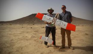
    Unmanned Aerial Vehicles (UAVs, or drones) are revolutionizing archaeological landscape mapping. Using drones, we will conduct a high-resolution aerial survey of previously unknown prehistoric monuments and archaeological sites in the eastern Black Desert of Jordan. Aerial surveys such as this can be particularly useful for recording prehistoric structures that tend to be small and difficult to identify from satellite images.


    Blast off!

    Browse Other Projects on Experiment

    Related Projects

    Y-DNA A00 and the Peoples of Cameroon: In Search of the Homeland

    This was the first phase of our fundraising campaign to support our fieldwork in Cameroon. We were very...

    Which of Cameroon's peoples have members of haplogroup A00?

    We're now aiming for a higher $9000 Stretch Goal in Round Two of our fundraising, for our groundbreaking...

    Backer Badge Funded