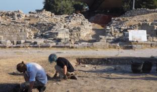
Visual documentation at Troy
The earliest excavations at Troy, those by Frank Calvert in the 1860 and Heinrich Schliemann in the 1870’s were done before the widespread use of photography. Some photographs were made by Schliemann of finds, such as those of his wife Sofia with the jewels. But visual documentation in the field was done through sketches in notebooks and lithographs intended for publication.
More photos are available from the excavations directed by Wilhelm Dörpfeld. Being an architect, Dörpfeld also standardized drawings in field documentation and he produced handsome detailed maps.
Systematic use of photography in the trenches was introduced during the excavations of Carl Blegen in the 1930’s. During these excavations film was also used, as can be seen at http://cerhas.uc.edu/troy/blegen_video.html
The excavations of the 1990’s directed by M. Korfmann, created a rich photographic record, in color and black&white. In addition, a great deal of imagery was created from Remote Sensing equipment, such as geo-radar, aerial photography and satellites imaging.
In the latest excavations, directed by our colleague Rüstem Aslan, visual documentation has been intensified again, by the incorporation of drone imagery and digital surveying equipment.
The repeated innovations in the application of visual documentation, of course, reflect the advances in technology with the progress of time. However, what has been the effect of these on the interpretation about Troy? Have these innovations led only to more and ever prettier pictures, or does the technology of archaeological fieldwork actually help us to understand the site better? What has been the effect on the key issues surrounding the site.
Within our project, Bart Rendering will be looking into the development and the effects of visual documentation.
Thank you all for making this project possible!
0 comments