Methods
Summary
A total of ten parks in Salt Lake region in Utah will be selected according to various size, types, and facilities. A researcher will visit the parks during weekday afternoon (3-6 pm; under clement weather) in Spring 2017.
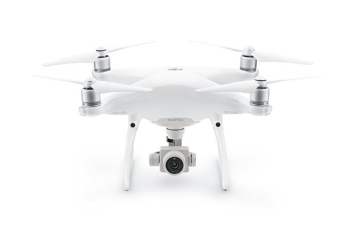
The UAV to be used in this study is a quadcopter, commonly known as a drone. The specific model is ‘DJI Phantom 4 Professional' carrying a fully stabilized 3-axis 4K video camera (see the image).
In a park, a UAV observation is conducted in three steps: 1) an operator plans the flight path by considering boundaries, obstacles, and park users and collects contextual information such as weather or park conditions, 2) after flying the UAV to an appropriate height, the operator sets flight waypoints on the pre-planned path, and 3) the UAV automatically flies through the waypoints and records the area. Every UAV operation follows the Federal Aviation Administration’s safety regulations, and the researcher obtained permission from both IRB (approved; July 29th, 2016) and a municipal park department.
After the on-site flights, an assessor collects data on park users from the recorded videos. Additional assessor watches the same video to test inter-rater reliability. This study checks for inter-rater reliability of UAV observation, using intraclass correlation coefficients (ICCs). The reliability is computed not only for the total park users but also for those by gender, age, and physical activity level.
Protocols
Browse the protocols that are part of the experimental methods.
