About This Project
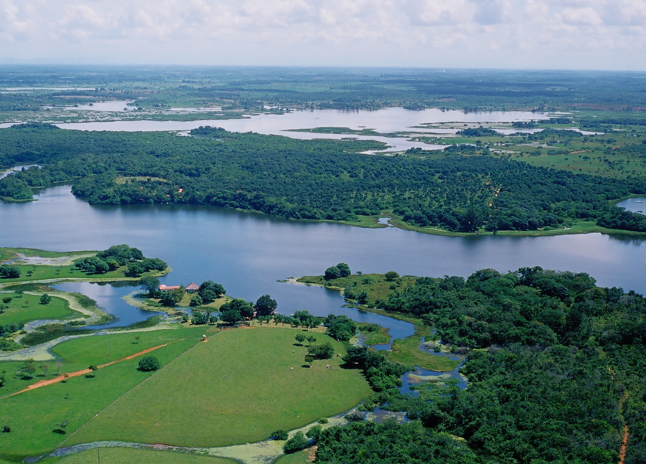
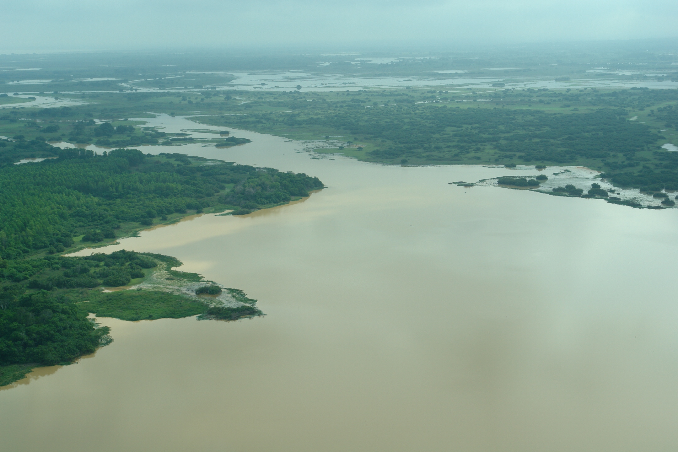
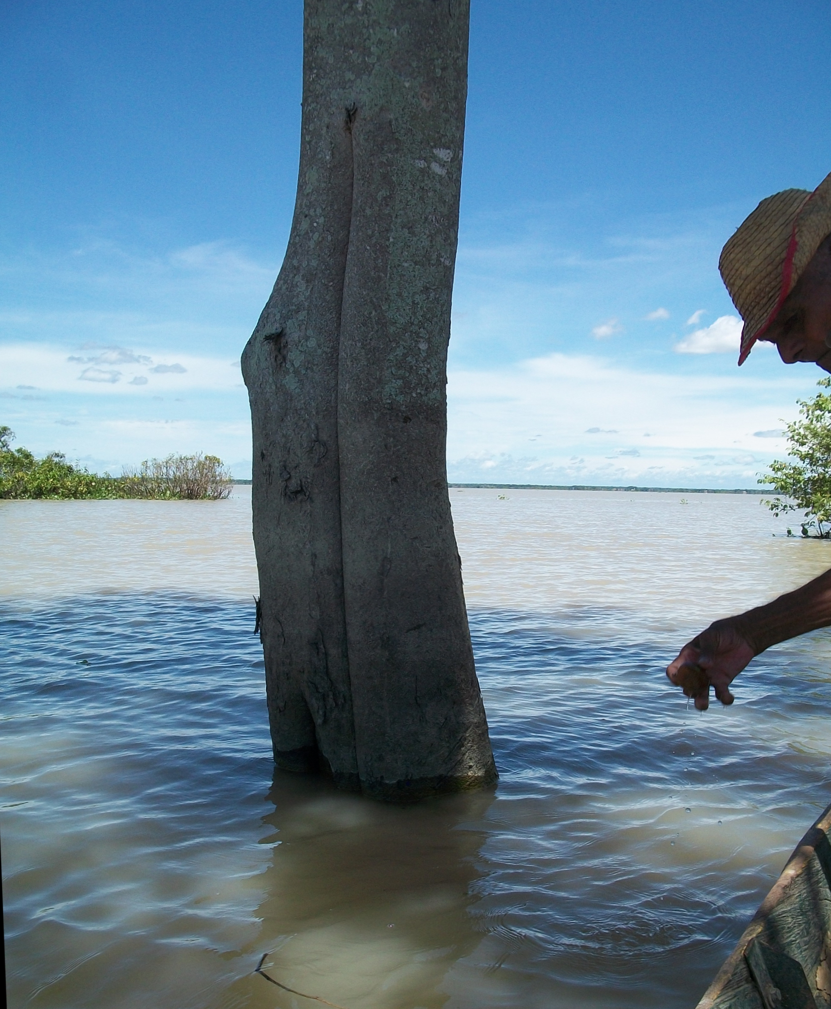
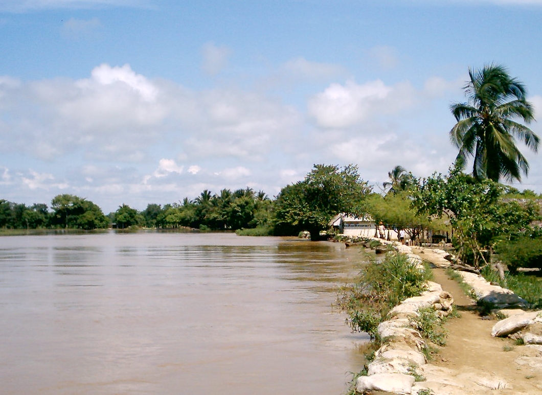
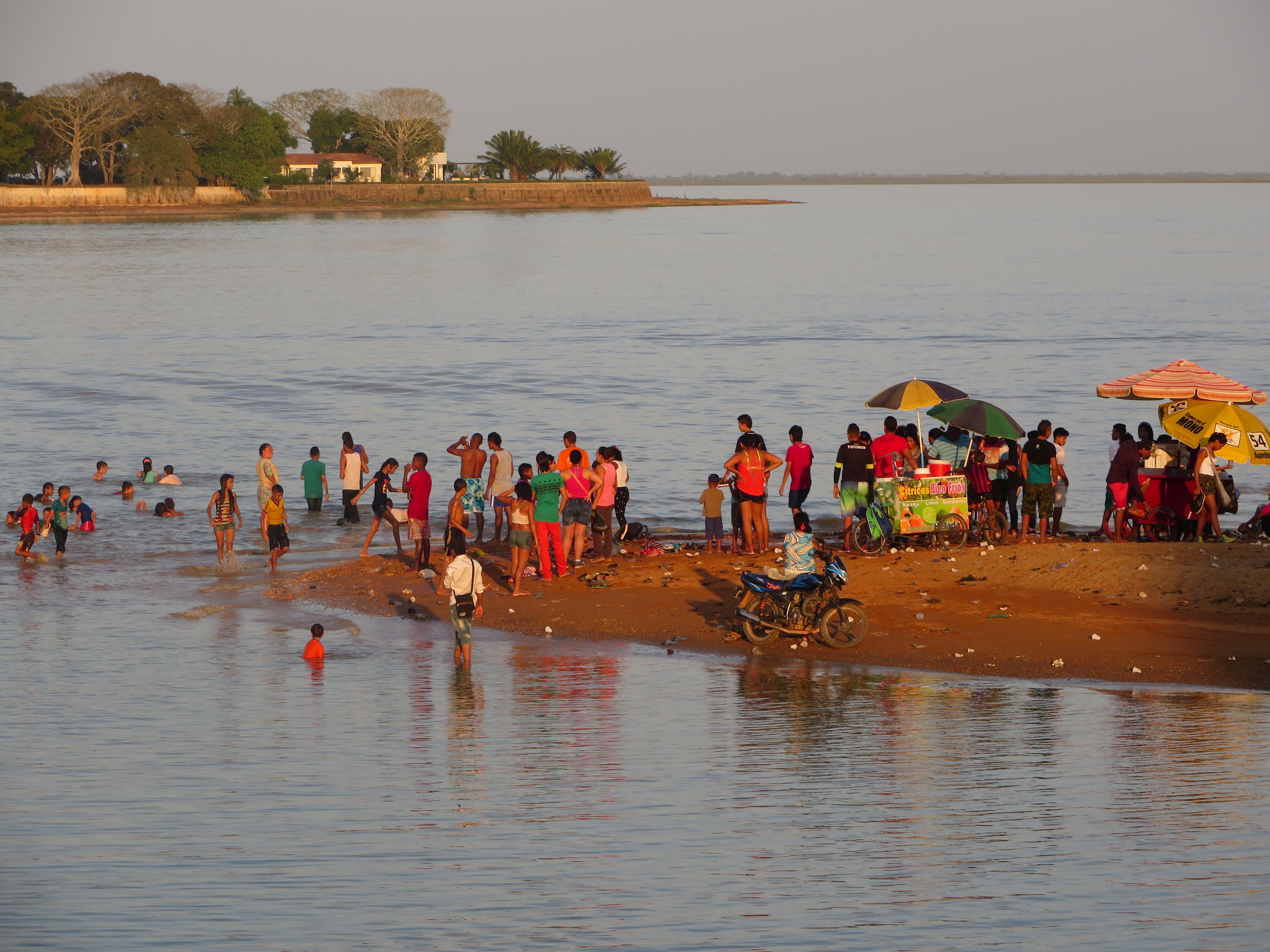
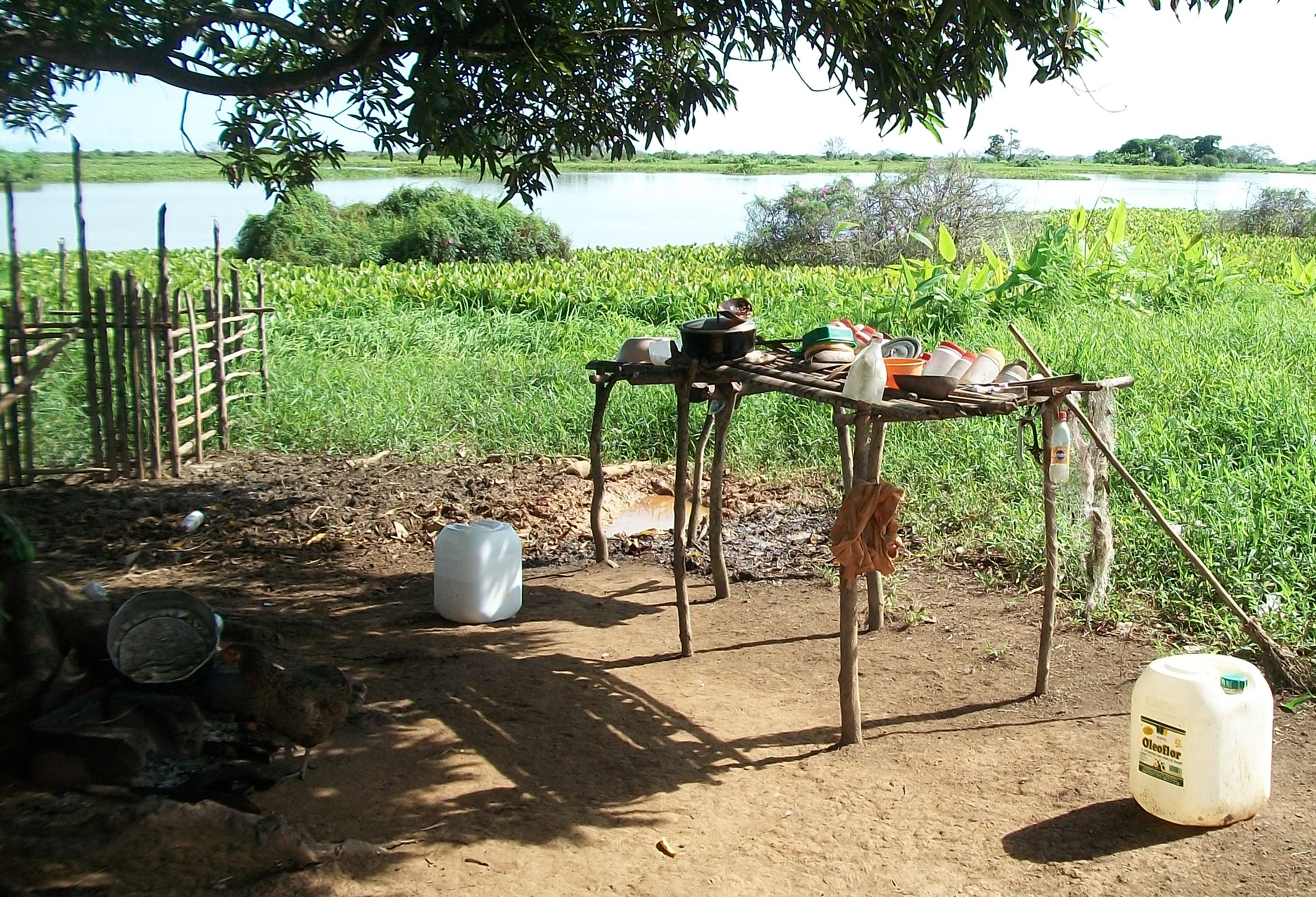
Colombia´s natural heritage can boast several wetlands under the Ramsar Convention. The Ciénaga de Ayapel is one of them and a fairly vulnerable one, its biodiversity threatened by deforestation, mining & urbanization. So far there is no consistent data collection & treatment tool to build a long-term monitoring and management strategy. We will create long-term tools for wetlands using a citizen science approach, increasing local community engagement and assessing the best ways to do it.
Ask the Scientists
Join The DiscussionWhat is the context of this research?
Comprehensive data gathering of wetlands is a expensive task, which can be unachievable when trying to integrate all risks involved or when these challenges have to be met in emerging economies with conflicting priorities. Our project will establish a broad network of local and visiting citizens who act as volunteers (see for instance https://bit.ly/39UUUAJ), doing on-the-field work for describing and studying main selected variables affecting their dynamics. Using their mobile devices and through specific apps, locals and visitors can gather significant data on wetland issues. So, many data collection tasks can now also be shared by individual citizens from most interested or affected communities and the project will evaluate how best attract and retain these communities engagement.
What is the significance of this project?
Monitoring ecosystems is a challenging task that only regions with strong economies are starting to tackle. Monitoring ecosystems (https://bit.ly/3n1W7tO) in emerging economies experiencing fast socioeconomic & environmental transitions is a far more challenging task. Colombia is home to 56.343 species of animals, plants, fungi, algae and lichens (https://sibcolombia.net/).
Our project addresses managerial aspects of monitoring local communities engagement in Citizen Science (https://bit.ly/39UUUAJ) data gathering in wetlands ecosystems and the dimensions that should be assessed before and during the procedures, providing insights about how better attract local and visiting citizens willing to help with data gathering, while assuring their quality, considering local conditions.
What are the goals of the project?
The funds will be used to determine how to increase engagement of local communities in long-term data gathering for wetland monitoring.
-We will partner with local NGO to design a mobile data collection setup, selecting at least 10 specific data areas most interesting for local communities to deal with: bird watching, fishing catch, presence of aquatic macrophytes or algal blooms, flood control or spill contamination points, among others.
-Next we will train at least 100 citizens to collect these types of data with designed apps
-Finally we will measure citizen engagement in such data gathering and evaluate accuracy of their records taking into account apps features, general social and economic conditions and/or any specific shortcomings that could affect local engagement.
Budget
Expected funding will be allocated for developing field work with local communities to analyze conditions concerning data gathering apps and, once those apps have been developed, train more than 100 citizens how to use them to gather data in a free or supervised format. After Ayapel citizens have collected heterogeneous data using those apps, project will evaluate data gathered, analyzing which app, formats and approach have been most efficient for project goals and we will update procedures and apps for best engagement of local communities.
Endorsed by
 Project Timeline
The project will take nine months. First we will collect and analyze available information to carry out a diagnosis of the current situation of the wetland local communities. Next we will develop 10 apps for data gathering involving different variables that local communities are currently dealing with. Then we will train 100 local citizens to use such apps to gather data. We will assess their use for project goals, redevelop if needed and start working with local communities.
Apr 14, 2021
Project Launched
May 31, 2021
Field trip for recognition of the territory. Analysis of main data describing local communities socioeconomic profile.
Jun 30, 2021
Helped by local NGO design of > 10 apps for data gathering.
Jun 30, 2021
Workshop for project socialization
Jul 30, 2021
Design of training strategies
Meet the Team
Team Bio
We are a multidisciplinary team with extensive experience in environmental evaluation and management processes, data analysis, technological development and social appropriation of knowledge. We are motivated to seek the transformation of territories and communities towards sustainable development within the framework of the SDGs.
Juan Camilo Munera Estrada
Since 2014 and currently, environmental researcher at Centro de Ciencia y Tecnología de Antioquia – CTA (Colombia). He has more than 20 years of experience in projects involving hydrological modeling and environmental assessment in Brasil, Spain and Colombia. Civil Engineer (1997) and Master in Use of Hydraulic Resources (2003) at Universidad Nacional de Colombia. Master in Port and Coastal Engineering (2001) at CEDEX - Spain. Diploma of Advanced Studies, PhD Program in Hydraulic Engineering and Environment (2008) at Universitat Politècnica de València - Spain. Professor and Researcher at Universidad de Ibagué - Colombia (2012-2013). Scholar and Senior Technician at the Institute of Water and Environmental Engineering at Universitat Politècnica de València – Spain (2005-2012). Researcher at Instituto Nacional de Pesquisas da Amazônia - INPA and Centro de Previsão de Tempo e Estudos Climáticos – CPTEC (2003), Brasil. Research assistant at Universidad Nacional de Colombia (1999 - 2003).
Carmen Fernández de los Rios
Project manager at SOLTEL R&D and Innovation Dept (Spain). Carmen received a degree in Computer Engineering from the University of Seville in 2000. PMP certified. She has 20 years of experience in analysis, development and management of software application projects, working for different companies such as Indra, Siemens, Endesa, or the Andalusian Statistical Institute. In 2014 she joined Soltel’s R&D Department where she has participated as software analyst and projects manager in several projects, mainly in the fields of Business Intelligence, AI, IOT and web/mobile development.
Carolina María Rodríguez Ortiz
Since 2010 and currently, environmental researcher at Centro de Ciencia y Tecnología de Antioquia – CTA (Colombia). She holds a degree as Forest Engineer and MS in Environmental Sciences. Ms Rodriguez has ample experience in the Integral Management of Water Resources, planning of basins and territory. Specific experience in eco-hydrology, agro-hydrology and water footprint, with participation in research studies on a national scale, such as the National Water Studies and the Green Growth Mission for Colombia in the strategic axis of water productivity and in the agricultural aptitude zoning of several crops in Colombia. She has also extensive experience in Geographic Information Systems (GIS) solutions.
Sandra Patricia Castro Madrid
Since 2014 and currently, social researcher at Centro de Ciencia y Tecnología de Antioquia – CTA (Colombia). Professional in Social Work at University of Antioquia (1994), she has extensive experience in community engagement in territorial and environmental planning; community management of water resources and risk management; design of participatory methodologies; socio-economic research of population and stakeholder mapping; educational work with rural and ethnic communities. Experience in the public sector, in the design and implementation of public policies and programs for childhood, adolescence and family. Accompaniment in processes of care and humanitarian aid to population in a displacement condition and reincorporation processes.
Lab Notes
Nothing posted yet.
Additional Information
Project Backers
- 8Backers
- 6%Funded
- $270Total Donations
- $33.75Average Donation
