Methods
Summary
Our success in the field, and therefore the success of this project, depends on a good and well-defined field plan. If we come back with viable samples of the rocks and soils, we can apply many different analytical methods upon return to LSU and learn more about the history of these outcrops.
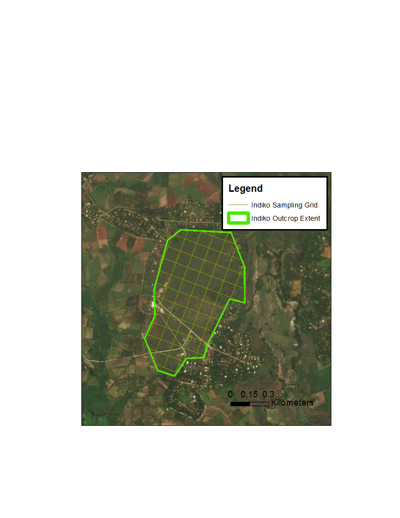
In the field, we will sample rocks and soil using rock hammers and hand augers. Exposures of serpentine rock are easily sampled due to their low hardness, and weathering can make extracting samples even easier. When rocks are not exposed at the surface, we will use a hand auger to dig up to ~.5 m deep into the soil, sampling the soil at .25 m below the surface. Sampling at this depth will limit the influence of surface processes. We will sample rocks and soil on a grid with a spacing of 100m (see map), sampling at the intersection of grid lines. Any rock outcrops or otherwise noteworthy features will also be sampled and mapped.

Challenges
The biggest challenge to both the field and remote sensing components of this campaign will be sample accessibility. For many of these outcrops it is not known how thick the cover of sediment it and it is possible the serpentinite rock may be buried deeper than can be reached without large coring machinery. This could limit our ability to sample rocks and the soils that develop immediately on them. However, if we can sample even a few rocks within a single exposure, this will be sufficient for our purposes.
Vegetation is also a concern for both field sampling and remote characterization. In the field, thick vegetation either on the outcrop or surrounding it, can impede our access to the outcrop as well as prevent sampling. From the remote perspective, vegetation will block the view of soil, limiting our ability to characterize the spectra of the units. Fortunately, the toxicity of the serpentine soil decreases the likelihood of thick vegetation on top of the unit itself, mitigating these concerns. Since we are traveling light and not planning on bringing any heavy or bulky instrumentation, it is unlikely we will encounter vegetation thick enough to completely prevent access to the outcrops.
Pre Analysis Plan
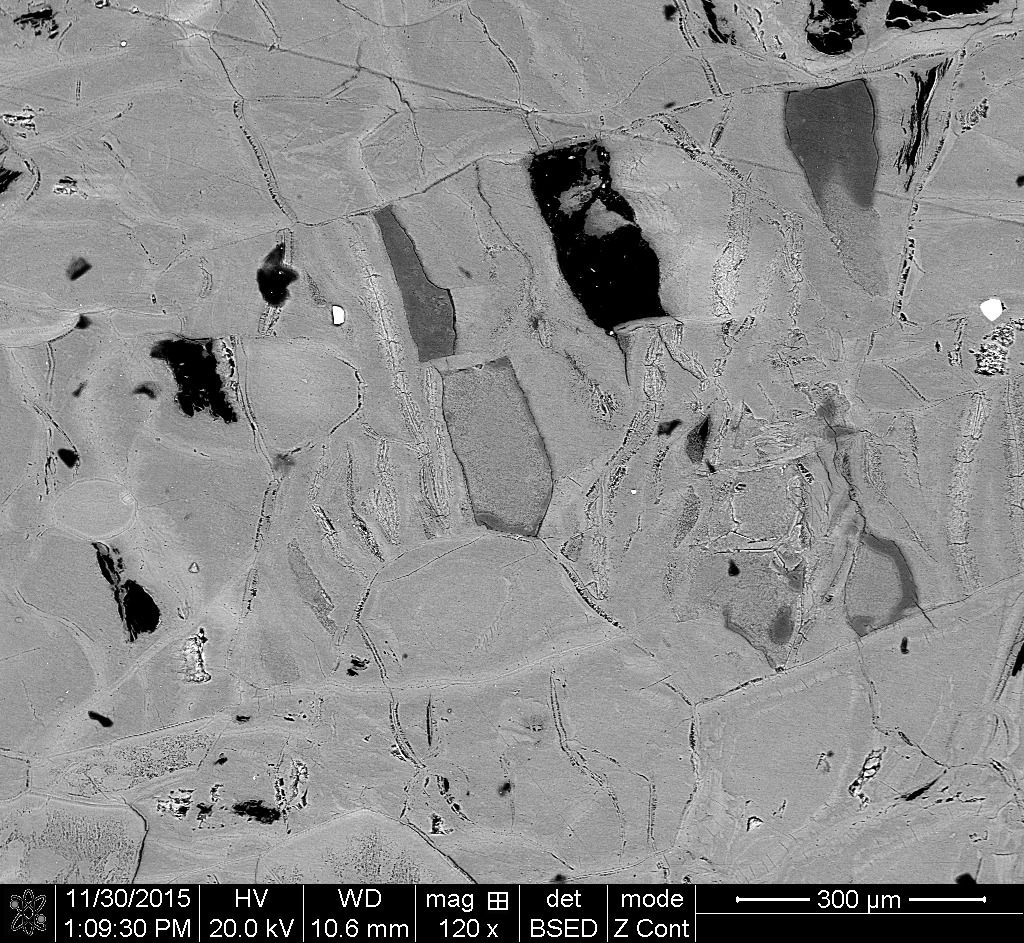
Once the samples are back in the US, we can begin our thorough characterization of the rocks and soils. With the facilities at LSU, we can use petrographic microscopy as well as Cathodoluminescence (CL) microscopy to characterize the mineralogy of these samples and their textures. This initial characterization will give us basic details about the history of these rocks and the conditions they experienced. Another key method we will use is X-Ray diffraction to distinguish among the different polymorphs of serpentine. The presence and relative proportion among these polymorphs, chemically identical minerals with different structures, will provide finer details on the rock’s history. Further analysis, such as isotope-based temperature or pressure dating, will depend on the minerals we find in the rocks and soils.

Protocols
This project has not yet shared any protocols.