Austin Hill

Austin Hill

Apr 02, 2016

Group 6 Copy 263
0
    Please wait...

    About This Project

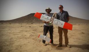
    Unmanned Aerial Vehicles (UAVs, or drones) are revolutionizing archaeological landscape mapping. Using drones, we will conduct a high-resolution aerial survey of previously unknown prehistoric monuments and archaeological sites in the eastern Black Desert of Jordan. Aerial surveys such as this can be particularly useful for recording prehistoric structures that tend to be small and difficult to identify from satellite images.

    Blast off!

    Browse Other Projects on Experiment

    Related Projects

    Does tattooing benefit the immune system? The inking of immunity.

    Our team studies cultural impacts on health, specifically those of tattooing on the immune system. We expand...

    Friends and food...how does an artificial termite mound affect the social behavior of gorilla groups?

    Gorillas, like people, are incredibly social animals. I am studying how a clumped and social-foraging resource...

    How has modernization affected the population of rural Yuzawa, Niigata, Japan?

    JP / EN To our knowledge, no literature exists that examines the experiences of the people of Yuzawa or...

    Backer Badge Funded