About This Project
Greenland is melting and as more of its ice and water move into the ocean, sea level will rise. We will measure ocean temperature and salinity below 200 to 600 meter thick ice of Petermann Glacier in North Greenland for several years. Holes will be drilled through the ice to reach the ocean below where we place about 10 instruments. The holes will freeze over quickly, the instruments will never return, but a cable connects the mysteries of the dark ocean to the surface and via satellite to anyone with an internet connection. More details are posted at my web-log http://IcySeas.org where I share my excitement about science.
Ask the Scientists
Join The DiscussionWhat is the context of this research?
All engineering and all logistics are done, but nobody has ever looked at the ocean below any floating glacier of Greenland and the proposed measurements will break new ground. Our group published the first ocean data in Muenchow et al. (2011) for Nares Strait and Johnson et al., 2012 for Petermann Fjord.
Satellites only see the surface and I used lasers and radars flown on NASA planes and satellite over this glacier the last 10 years. This work was published last year in the Journal of Glaciology (Münchow et al., 2014). I visited the site with icebreakers 4 times since 2003, testified before the U.S. Congress, and again will be there on a Swedish icebreaker in 2015.
What is the significance of this project?
Computer models predict how ice and glaciers change, but do we really trust these machines to get all the physics right when nature is a little more complex, rich, and varied than even the most beautiful set of equations. Data are what keeps models honest and in order to understand how our local sea level is changing over time, we need to know what drives the melting of Greenland's glaciers. The atmosphere does some in summer, but the oceans may very well do it year round. In order to know, we need to measure.
What are the goals of the project?
We hope to trace how warm water of Atlantic origin moves under the 40-km long floating glacier towards its grounding line where most of the ocean melting takes place. To do this reliably, we need to measure temperature and salinity every hour for many years. This project is to start these measurements. All data will be shared via the internet for anyone to use as they see fit.
Budget
The components will ensure a fully automated ocean data station that communicates data collected in real time onto the internet. The station connects a series of ocean sensors (3 available) below the glacier ice to custom designed electrical cables (requested) of ~500 meter length each. At the glacier surface these cables connect to a stripped-down computer with additional control capabilities (a data logger, requested):
The data logger then distributes data to an Iridium satellite communication unit (requested) which sends the data to a computer in my office where I will post the data on an available web-server. Without these funds the station will not get built or placed. The life time of the station is 5-10 years, a weather station could be added at ~$10,000 using the same data logger and satellite communication link.
Meet the Team

Team Bio
I am a sea-going physical oceanographer interested in how physics of polar and coastal oceans impacts global climate. Current work focuses on flows in straits and fjords off Greenland and includes remote sensing. My teaching ranges from Time Series Analysis to Geophysical Fluid Dynamics.
For 18 years I was a resident alien from Germany, but in 2005 became one-quarter of an all-American family. Aged 30 to 53 the four voting adults of this family had four different political party affiliations among them. All are all very proud of each other, fiercely independent, and vocal. All hold strong views on a range of political, social, and scientific subjects.
For physical and mental exercises I tend a garden, plant and admire native American azaleas, bicycle, play table tennis, hike for geocaches, blog at IcySeas.org and like a pint of fine Pilsner Urquell or Guinness Stout.
Andreas Muenchow
Sailor in a Changing Climate
http://IcySeas.org
Press and Media
1. New York Times
2. National Public Radio
3. L'Express
4. Australian Broadcasting Corporation
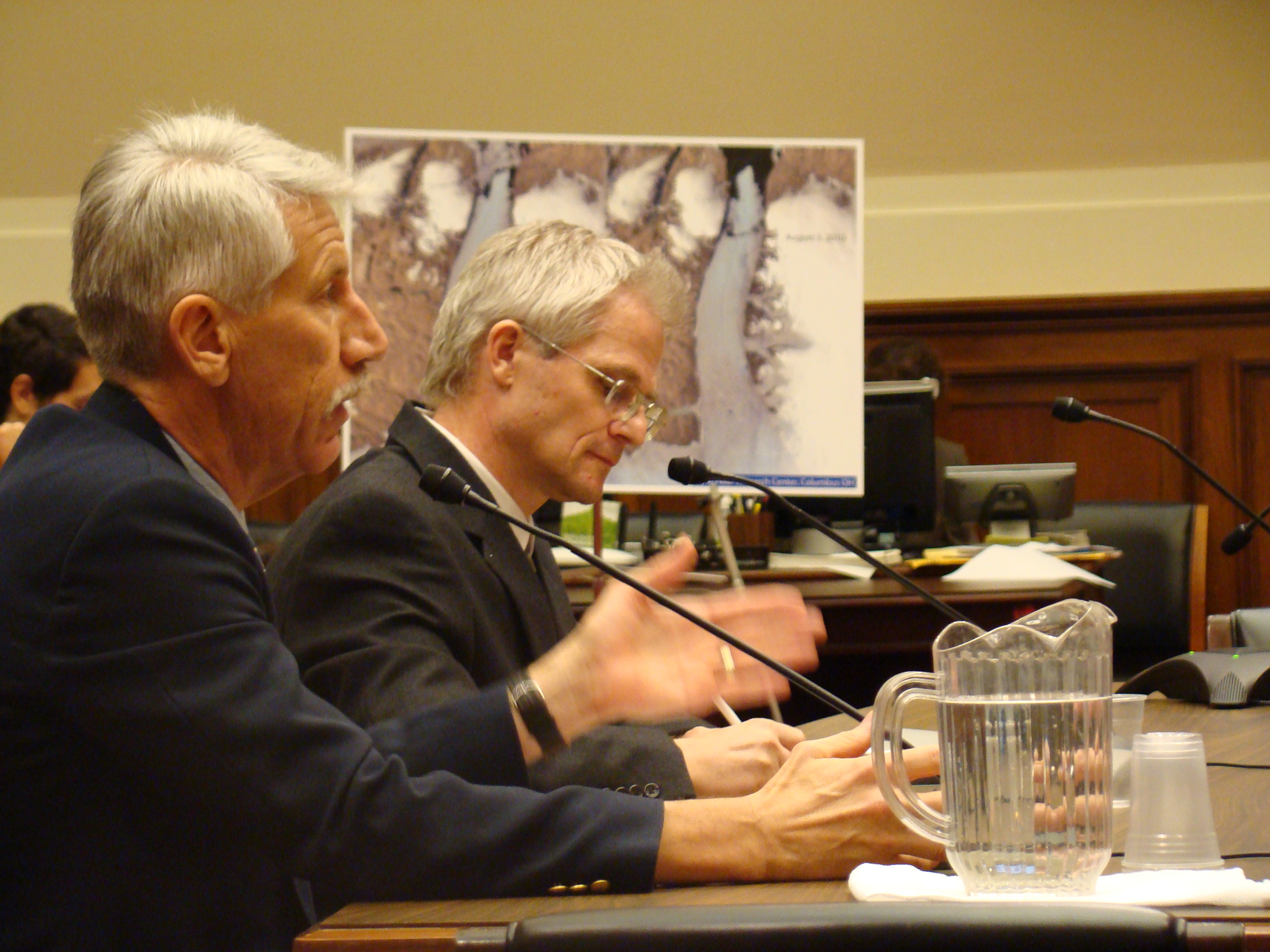
5. Testimony before US Congress (me on right)
Additional Information
This is me aboard the Canadian Coast Guard Ship Henry Larsen in 2012 with a very small piece of Petermann Gletscher in Nares Strait:
This tiny piece was part of a much larger "Manhattan-sized" ice island that is shown in this picture with the helicopter for scale:

The glacier has been stable since this last break-up. This is why we want to instrument it with a weather station that also provides access to the ocean under the 200-m thick (600-feet) ice.
And I found another video that is a little of crunching ice and flying over the glacier in this little fly of a helicopter shown above which later give this view of the current front of Petermann Glacier where we want to deploy our instruments.

Project Backers
- 15Backers
- 6%Funded
- $621Total Donations
- $41.40Average Donation