About This Project
Spring water in Monroe County, WV is used extensively for both public and private supply but no one is sure how vulnerable or sustainable those water sources are. Protecting these resources requires a better understanding of water flow in the geologically and structurally-complex region. Instrumentation purchased for this study will aid in the quantification of the water available in the region and its susceptibility to contamination.
Ask the Scientists
Join The DiscussionWhat is the context of this research?
The geology of the eastern boundary of Monroe County, WV is composed of a combination of deformed sandstones, shales and limestones. A geologic event about 300 million years ago involved a collision of land masses to form the supercontinent Pangea. This event caused the folding and faulting of these rock layers, making the groundwater flow systems very complex and challenging to understand.
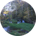
Caves, sinkholes and springs are prominent in Monroe County and result from the dissolution of limestone. These features complicate groundwater flow and can result in a landscape highly vulnerable to contamination. Springs, the locations where ground water discharges at the land surface, are used extensively as water supplies in the region.
What is the significance of this project?
The economic history of Monroe County revolved around its use of surface water and groundwater and this heavy reliance still exists. However, no one knows exactly how much water Monroe county possesses. This project will provide total discharge and insight to the quantity of water available from Peter’s Mountain region for consumption and use.
In July 2015, petroleum contaminated a public supply spring and the water supply had to be shut down. This contamination event displays the need for subsurface interpretation of areas in Monroe County in order to prevent future contamination. Specifically, the implementation of conductivity loggers will provide more data for better understanding the vulnerability of water in the subsurface.
What are the goals of the project?
The funds of this project will be used to purchase equipment, specifically for the continuous analysis of water along Peter's Mountain in Monroe County, WV. Water level data loggers will be installed at discharge measurement locations and will gather uninterrupted data to create stage-discharge curves. These curves will calculate total discharge and aid in the creation of a water budget for Peter's Mountain. Conductivity loggers will be placed at spring locations to obtain more detailed data than temperature and water level alone can provide. Springs with highly variable conductivity will be identified as those most connected to activities on the land surface.
This research began in November 2015 and will continue until the summer of 2017.
Budget
There are too many springs to monitor flow in all of them, so we will measure the total amount of water in the streams that leave the valley to obtain composite flow data. The water level loggers will be combined with measured discharge data to allow us to determine the water leaving the valley on a short time interval ( every 15 minutes) for a year.
The conductivity loggers will provide data on how the water chemistry changes over short, storm-based events. This will tell us how connected the springs are to the land surface. We plan to install these loggers in the public-supply springs.
The requested funds will support existing funds we have via a WVU community engagement grant. That grant covers travel and student support, but does not provide funds for the loggers. By purchasing these instruments we will be able to understand the surface-ground interactions and seasonal changes far better than we could without them.
Endorsed by
Meet the Team
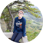
Emily Bausher
I am currently a geology master's student at West Virginia University and completed my undergraduate degree at Lehigh University.
I have always been fascinated with the interaction of water and rock, specifically the chemistry involved in these interactions.
I got involved in this project through my graduate research adviser Dr. Dorothy J. Vesper and am very grateful to be able to work with and learn from her everyday.
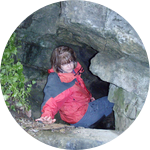
Dorothy J Vesper
I think I have loved springs my entire life. I grew up in the central PA karst region and spent many happy hours visiting the karst spring on my father's nursery or locating sandstone springs while hiking the local ridges. There is something magical about seeing water flow forth from the rock. I feel very privileged to be able to combine my background in geology and geochemistry to better understand springs. Plus they are lovely locations to do research.
My interest in the springs of the geologically-complex Valley and Ridge region continues in my current work in WV. Monroe County - where this project is located - which has abundant spring water that supplies nearly all county residents via either private and public sources. The water also supports the local economy by providing farmers and bottled-water companies with high-quality resources. Unfortunately, we understand very little about the vulnerability and sustainability of these resources. For this project we have teamed with the Indian Creek Watershed Association to help answer these questions. The interaction of the watershed group with the WVU researchers has been tremendous. Both Emily and I appreciate the opportunity to do good science while supporting community needs.
Additional Information
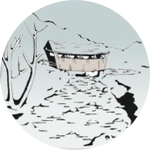
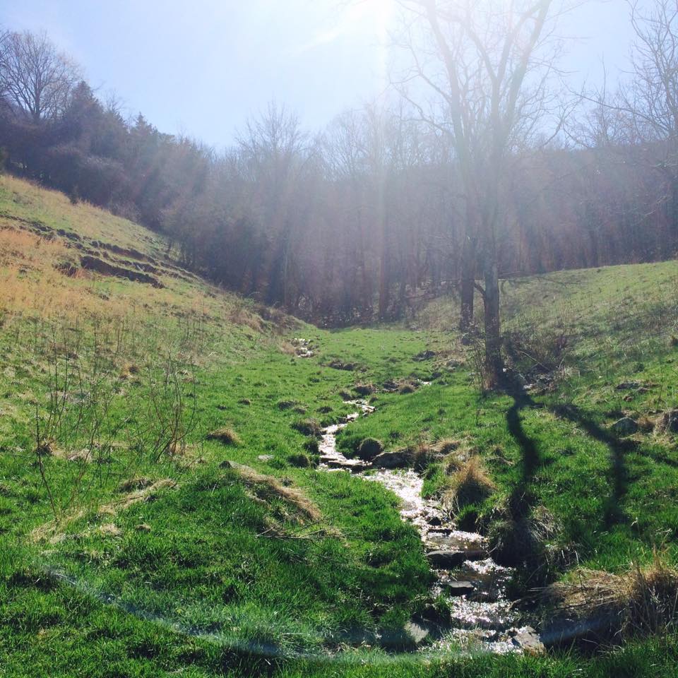 This image is of Broyles Spring on located on the northwestern slope of Peter's Mountain.
This research will be done in close collaboration with the Indian Creek Watershed Association. Their help with this project thus far has been nothing short of amazing and I am so thankful for their continued efforts. The following is a link to their website: http://indiancreekwatershedass...
Project Backers
- 51Backers
- 110%Funded
- $3,302Total Donations
- $63.50Average Donation